Winter, or what passes for winter on Planet Georgia, has made one final visit to FAR Manor:
A BROAD SURFACE RIDGE CONTINUES TO BUILD SOUTH FROM CENTRAL CANADA AS A LARGE UPPER LOW REMAINS ANCHORED OVER SOUTHEAST CANADA. THIS PATTERN ALLOWS COLD CANADIAN AIR TO SPREAD FAR INTO THE SOUTHEAST UNITED STATES. A REINFORCING SURGE OF COLD AIR WAS MOVING THROUGH THE AREA THIS MORNING. TEMPERATURES WILL BE NEAR OR JUST BELOW FREEZING THIS MORNING...AND MOSTLY IN THE 20S SUNDAY MORNING...
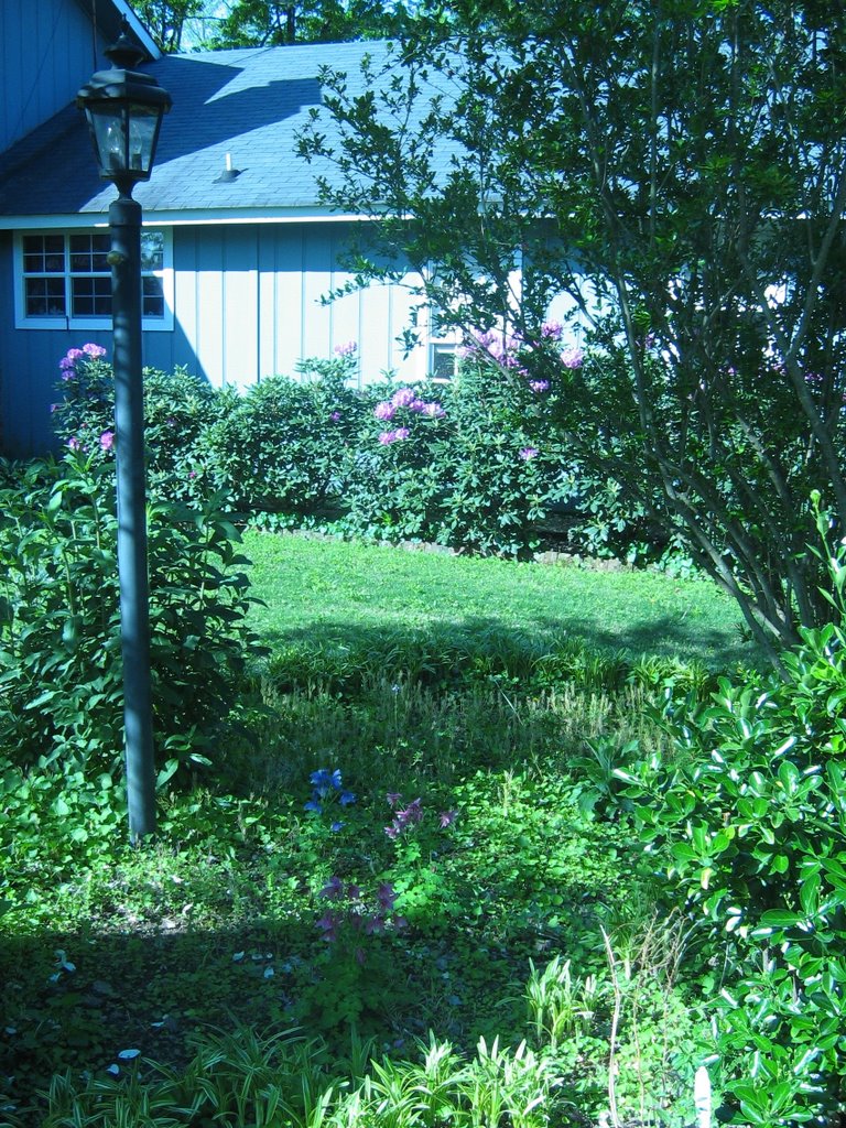
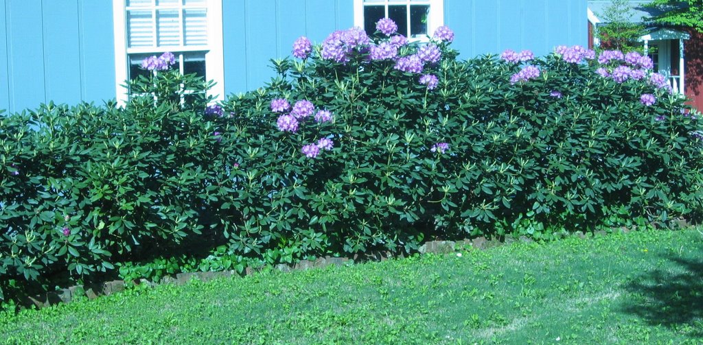
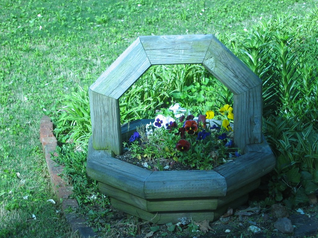
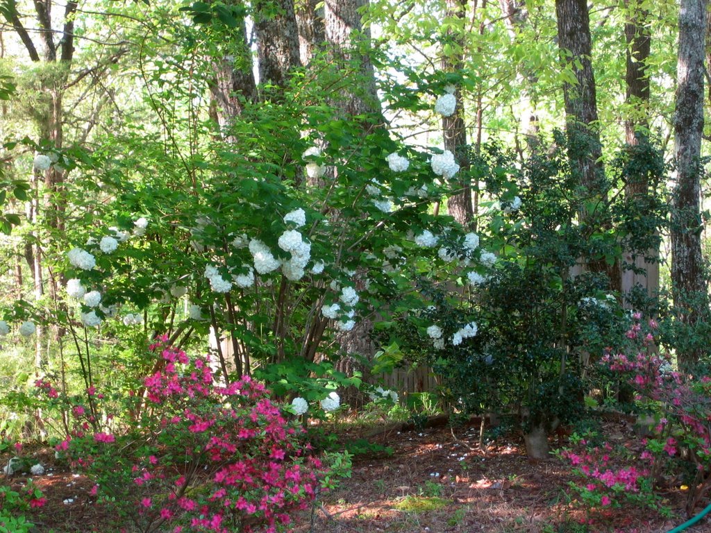
Mrs. Fetched is understandably concerned about all the flowering stuff around the manor house, and wanted me to get pictures. Fortunately, I’d already done that except for a close shot of the flowering cherry outside our bedroom window. But as of this morning, it seems the wind (strong all evening and even stronger last night) was crueler than the cold — many of the blossoms got blown off the tree. One was on the ground when I was taking pictures; I took it into Mrs. Fetched.
Fortunately, it looks like it’s going to be slightly warmer tonight than last night, and (if we’re lucky) it will stay above freezing Sunday night. The wind may have rescued much of the fruit crop in the state by preventing frost from forming.
Blackberry Winter came early this year, and stronger than usual. Let’s hope that’s the end of it.